← Browse Dives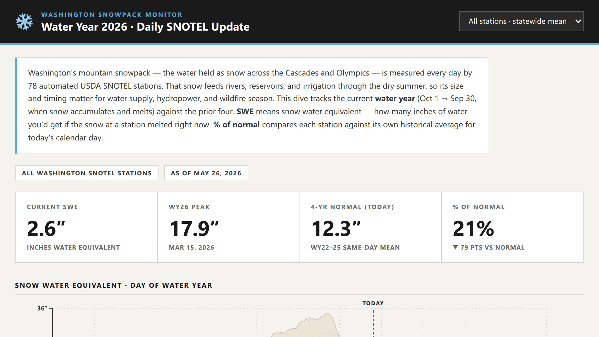
Loading Interactive Dive...
Washington Snowpack — WY2026 vs Last 5 Years
Washington's mountain snowpack tracked daily across 78 NRCS SNOTEL stations: water-year SWE curves vs a historical envelope, temperature anomaly, statewide % of normal map, and station leaderboard.
DashboardWeatherScienceMapData Viz
Author: Garrett O'Brien · May 28, 2026 Region: us-east-1
AI Prompts Used
1Prompt 1
Build a MotherDuck dive on snotel_wa_v2 (snotel_wa_v2.main.stations + .observations,
elements WTEQ/SNWD/TAVG, WA SNOTEL daily 2021-2026).

Title: "Washington Snowpack — WY2026 vs Last 5 Years"

Layout:
1. Dark header bar w/ snowflake, NWAC-blue accent rule, station <select>
2. Intro card explaining SWE / water year / % of normal
3. 4 KPIs: Current SWE, WY26 Peak, 4-yr Normal today, % of Normal (w/ delta)
4. SWE envelope chart by day-of-water-year: WY22-25 min-max as sand band,
   thin warm-gray prior-year lines, bold NWAC-blue WY2026 line, TODAY marker,
   end-of-line dot w/ value
5. Temp anomaly: WY2026 vs WY22-25 baseline, raw daily + 14-day rolling mean,
   warm/cool fills above/below zero
6. WA state map: inline GeoJSON, d3.geoMercator, stations as dots sized+colored
   by % of normal (red→yellow→green, 0/100/200%)
7. Top stations table sorted by % of normal w/ bar chart column

Style: NWAC. Warm cream surface (#f5f3ee), hairline borders, flat cards, no rounded
corners, uppercase tracked-out section headers w/ bottom rule, accent #5aabd6,
red-yellow-green ramp #c44c3c/#d9b347/#4a9d4a, mono font for numerics.

Interactivity: single useDiveState("station") drives everything — picker, map
clicks, × reset button all write to it. Per-station queries branch on it.

Share with org when done.
Comments
Log in to leave a comment.
No comments yet. Be the first!